Dive Sites Near Hobart
13 dive sites in and around Hobart, TAS, nearest first, with the depth, skill level and conditions for each one.
Hobart's dives fall into two groups. South of the city, Tinderbox Marine Reserve has an underwater trail for snorkellers and new divers, and at Ninepin Point dark, tannin-stained river water lets sea fans and sea whips grow in a few metres. The bigger dives are on the Tasman Peninsula around Eaglehawk Neck and Fortescue Bay: sea caves at Waterfall Bay and the Eaglehawk Neck Caves, deep walls, and fur seal colonies.

Tinderbox Marine Reserve
Hobart, TAS
A protected reserve 23km south of Hobart with an underwater interpretive trail, ideal for snorkelling and entry-level shore diving.
View dive site →
Ninepin Point Marine Reserve
D'Entrecasteaux Channel, TAS
Shore dive in a no-take reserve where tannin-dark Huon River water overlies the sea, bringing sea fans, sea whips and red algae usually found much deeper into 2 to 10 metres.
View dive site →
Waterfall Bay
Tasman Peninsula, TAS
A boat-dive area on the Tasman Peninsula with a string of dramatic sea caves and dolerite walls, including the entrance to Australia's largest sea cave system.
View dive site →
Eaglehawk Neck Caves
Tasmania
Diving the Eaglehawk Neck Caves, Tasmania’s Submerged Labyrinth Spectacular cave diving with dramatic walls and hidden passages Diving the Eagl...
View dive site →
Deep Glen Bay North Wall
Forestier Peninsula, TAS
Sheer wall on the north side of Deep Glen Bay, about 7 km north-east of Eaglehawk Neck, with sponge gardens, sea whips and boulder tumbles to about 38 m.
View dive site →
Sisters Rocks
Forestier Peninsula, TAS
A cluster of pinnacles off Cape Surville on the Forestier Peninsula, where sheer walls drop to sponge gardens and sea whips at around 30 to 40 metres.
View dive site →
The Thumbs
Tasman Peninsula, TAS
Three-peaked rock island 200 m off Thumbs Point at the mouth of Fortescue Bay, ringed by a steep wall that drops past 40 m, with kelp, sponges, sea whips and large schools of butterfly perch.
View dive site →
Fortescue Bay
Tasman Peninsula, TAS
An accessible shore dive inside Tasman National Park with kelp forest, sandstone reef and a good chance of weedy seadragons in the 10-18m range.
View dive site →
Cape Hauy Seals
Tasman Peninsula, TAS
Shallow kelp dive at the gaps between Cape Hauy and its islands, beside the Candlestick and Totem Pole, where 30 to 50 New Zealand and Australian fur seals haul out year round and come down to meet divers.
View dive site →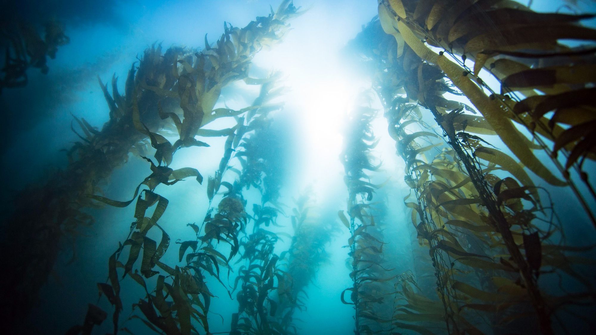
Munro Bight Giant Kelp
Tasman Peninsula, TAS
Former giant kelp forest in Munro Bight, a boat dive from Eaglehawk Neck; the stand was reported gone in 2016 and Tasmania has lost over 95% of its giant kelp.
View dive site →
Hippolyte Rocks
Tasman Peninsula, TAS
Hippolyte Rocks is a cluster of granite stacks 8km off Fortescue Bay, ringed by sheer walls and home to one of Tasmania's largest fur seal haul-outs.
View dive site →
SS Nord Wreck
Tasman Peninsula, TAS
The SS Nord sank in Munro Bight below Cape Pillar in 1915 after striking Needle Rock; her hull lies on sand in about 40 metres, rising to about 31 metres at the stern.
View dive site →
Troy D Wreck
Maria Island, TAS
A 55 m former hopper barge scuttled upright off Howells Point, Maria Island, in February 2007 as an artificial reef and dive site, with its interior opened for divers and the hull covered in jewel anemones and schools of fish.
View dive site →Diving near Hobart: what to know
The water is cold, about 10°C in winter to 18°C in late summer, and visibility is often best in winter. Fur seals haul out all year at Cape Hauy, where they come down to meet divers, and at Hippolyte Rocks: let them approach, and never touch.
Tasmania has lost more than 95 per cent of its giant kelp, and the Munro Bight forest was reported gone in 2016, but weedy seadragons are still found at sites such as Fortescue Bay. For wrecks, the SS Nord, sunk in 1915, lies in about 40 metres off the Tasman Peninsula, and the Troy D, a barge scuttled off Maria Island in 2007, has its interior opened for divers.
Read next: Best places to dive in Tasmania | Sea lions and fur seals | Drysuit or 7 mm wetsuit?
Planning a dive? Check today's visibility forecast, find dive shops in Hobart, or browse every dive site in Australia.